No one recognizes the “squelch” that comes with hiking in marshes quite like a wetland scientist. One might say it’s a perk of the job.
“When I’m out in the field, our team is usually hiking out to spots where there aren’t trails,” says Amy Kendig, a College of Biological Sciences (CBS) alumni who spends a lot of time at Cedar Creek Ecosystem Science Reserve in her role monitoring wetlands for the Department of Natural Resources (DNR). “I especially love bogs – they’re really magical ecosystems. But if you walk into a bog, there are huge mats of peat that are, like, very squishy. You’re basically walking on unstable ground.”
Marshes, swamps, floodplains, wooded wetlands, bogs and fens take up a lot of Minnesota acreage. In fact, Minnesota ranks third in the United States, just behind Alaska and Florida, for how much of the state is occupied by these valuable ecosystems. They regulate water-levels, prevent erosion and act as a filtration system for Minnesota’s freshwater. But few habitats are undisturbed by human activity. It’s part of Kendig’s job to scout out relatively untouched wetland sites so researchers and restoration projects have a baseline for what a “healthy” wetland should look like. Some of these reference sites can be found at Cedar Creek, a research station affiliated with CBS that manages over 5,000 acres of natural habitat.
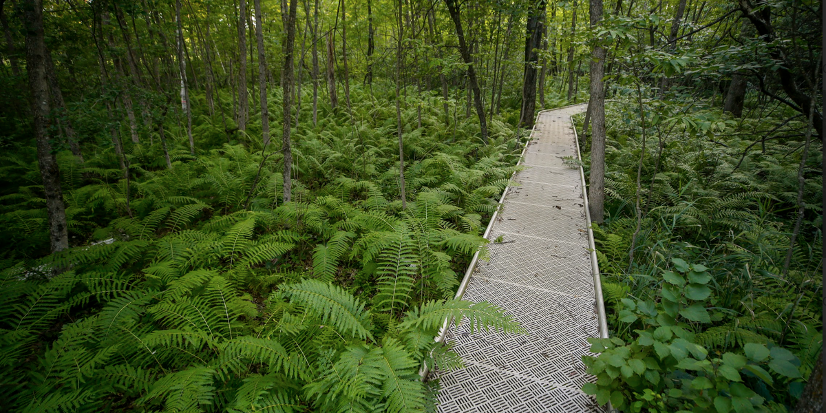
“When we installed a monitoring station in the lowland white cedar forest [at Cedar Creek], the botanist that works with us emphasized what a great location this is,” says Kendig. By “monitoring station” she means a well that she and her team dug at the site. They dig wells when the water levels hit seasonal lows – usually fall, after summer rains dry up. Folks at the DNR use these wells to monitor how the water level of wetlands change over time. “That one’s cool because you can see the well right off the boardwalk as you’re walking Cedar Bog Lake.”
There are three major determiners of wetland health: water level, soil health and vegetation type. Hydrologists at the DNR monitor water levels using the well, and plant ecologists monitor the soil and composition of plant communities. If the wetland in question is wooded, they may also measure the circumference of the trees.
“Plants are very specifically adapted to different water levels. So the water levels can actually influence what plants are there and aren't there,” says Kendig. The types of plant species that colonize these areas can affect the soil quality, and vice versa, but hydrology – the study of water movement – is a huge driver for these changes. Kendig’s team is interested in looking at hydrology across the state because there’s currently very little data available on it. “There's a lot of research out there about water levels and wetlands, but we don’t have many projects monitoring the many different wetland types found in Minnesota.”
There are lots of things the DNR hopes to glean from this data. The first is to aid in the management of Minnesota’s remaining wetlands, which are vulnerable to intensive agriculture and land-use changes. Restoration scientists can also get a better idea of the hydrology they should expect to see at their wetland restoration sites. The data can also serve as a valuable resource for scientists outside the DNR who want to investigate related research questions.
“I think that we're building a really valuable data set. We just don't have a lot of long-term data for a lot of these wetland types,” says Kendig. “We interact with wetlands in so many different ways, so I think there’s lots of opportunities there.” – Adara Taylor
Funding for this project was provided by the Minnesota Environment and Natural Resources Trust Fund as recommended by the Legislative-Citizen Commission on Minnesota Resources (LCCMR).