Summer Hiking Trail Open June 1 to Sept 30
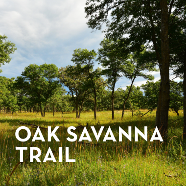
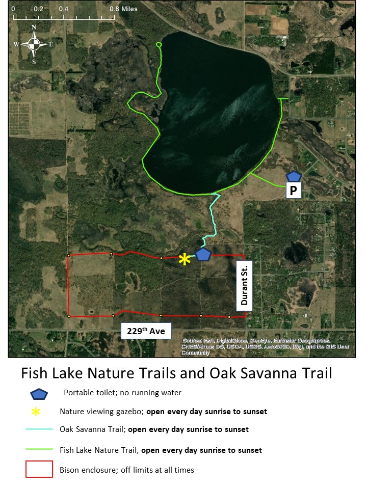
The Oak Savanna Trail is a 1-mile (one-way) trail extension heading south from Fish Lake and is open to the public daily in the summer, sunrise to sunset. It leads, via sand roads, to a viewing gazebo, great for birdwatching.
About the Oak Savanna Trail
The Oak Savanna Trail is connected to the Fish Lake Nature Trail in East Bethel.
Navigate using Google Maps. You can also type 'Fish Lake Nature Trail' into your own Google Maps search bar. Make sure to select the one on Durant St. The parking lot is ONLY accessible by heading north up Durant St rather than coming in from the north and east.
- Day use only (sunrise to sunset) from June 1 to September 30.
- Park only in designated areas (please do not park along Durant St.)
- Deposit all trash in available receptacles.
- No fires allowed
- No smoking anywhere on University property, including trails, roads, and gazebo
- Stay on designated trails
- No motorized vehicles, including ATVs, dirt bikes, and snowmobiles
- No bicycles
- No dogs
- No firearms, hunting, or collecting
- No alcohol
- No motorboats on lake (canoes allowed)
Please note: These trails are interpretive and/or nature trails. Please treat them as such, respecting the research and wildlife in the area.
Walking distance: ~2 miles
Activity level: level dirt trails and primitive sand road; may not be appropriate for electric wheelchairs.
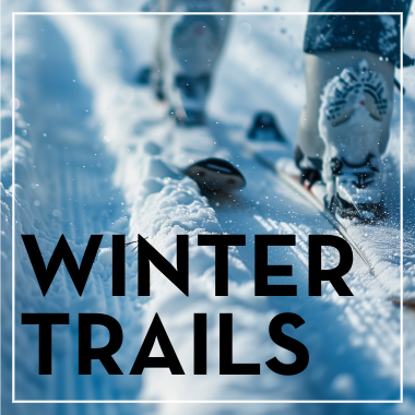
Cross Country Ski and Snowshoe
Cedar Creek Ecosystem Science Reserve Winter Trail is open from December 15 to March 15. Follow marked snowflake signs to stay on this 2-mile loop trail. These trails are open to public access only in the winter; during the rest of the year, they are used for research and are therefore closed to hikers unless otherwise marked. The trail may or may not be groomed depending on staff availability.
When the trail is groomed, it is reserved for cross-country skiing. Hikers and snowshoers should stay on the Fish Lake Nature Trail.
Dogs are not allowed on any of the trails located at Cedar Creek Ecosystem Science Reserve.
About the Winter Trail
The Winter Trail is connected to the Fish Lake Nature Trail in East Bethel.
Navigate using Google Maps. You can also type 'Fish Lake Nature Trail' into your own Google Maps search bar. Make sure to select the one on Durant St. The parking lot is ONLY accessible by heading north up Durant St rather than coming in from the north and east.

- Day use only (sunrise to sunset) from December 15 to March 15
- Park only in designated areas (please do not park along Durant St.)
- This trail is ONLY for cross-country skiing, but if there is no snow, hiking is allowed.
- Do not step or snowshoe on the groomed portion of the shared trail.
- Deposit all trash in available receptacles.
- No fires allowed
- No smoking anywhere on University property, including trails, roads, and the gazebo
- Stay on designated trails
- No motorized vehicles, including ATVs, dirt bikes, and snowmobiles
- No bicycles
- No dogs
- No firearms, hunting, or collecting
- No alcohol
Please note: These trails are interpretive and/or nature trails. Please treat them as such, respecting the research and wildlife in the area.