Looking for datasets to support your research questions? Check out the resources below to enable new projects or support existing research. We can also help you get in touch with our current researchers. Questions? Contact the Station Scientist at [email protected] for more information.
We are currently working to digitize additional datasets, and new data is always being collected, so check back often for updates.
Weather Data
IBSL has been collecting daily weather data since May 1, 1911. You can access these data in the NOAA database by selecting your dataset of interest and searching for the Itasca Station (ID: GHCND:USC00214106).
The graphs below show recent observed temperature data compared to normal and historic high/low ranges.

Lake Ice Tracking
Station staff have been tracking ice freeze and thaw dates for many lakes in the area since 1987. For Lake Itasca, data on spring ice out dates back to 1928. You can access them as a data package in the EDI repository, which includes detailed metadata.
The Minnesota Department of Natural Resources and the Minnesota Pollution Control Agency collect ice freeze and thaw data for lakes across the state. You can access interactive maps of the year’s ice in and ice out dates.
The chart below shows the lake freeze dates for the North Arm of Lake Itasca. Check back each season as we continue to track lake ice around the park.

Lake Water Monitoring
A variety of lake water sampling projects have taken place in the Itasca region across many decades. Sampling data from 1905 through 2021 are available as a data package in the EDI repository, which includes more detailed metadata.
IBSL staff actively conduct sampling at many lakes in Itasca State Park. Some of these data are reported to the Minnesota Pollution Control Agency to contribute to their Volunteer Water Monitoring Program. Please contact the Station Scientist at [email protected] for further information about IBSL's lake sampling efforts or copies of these datasets.
The chart below shows Secchi disk measurements recorded during the 2025 season.

Bear Paw Breeding Bird Census
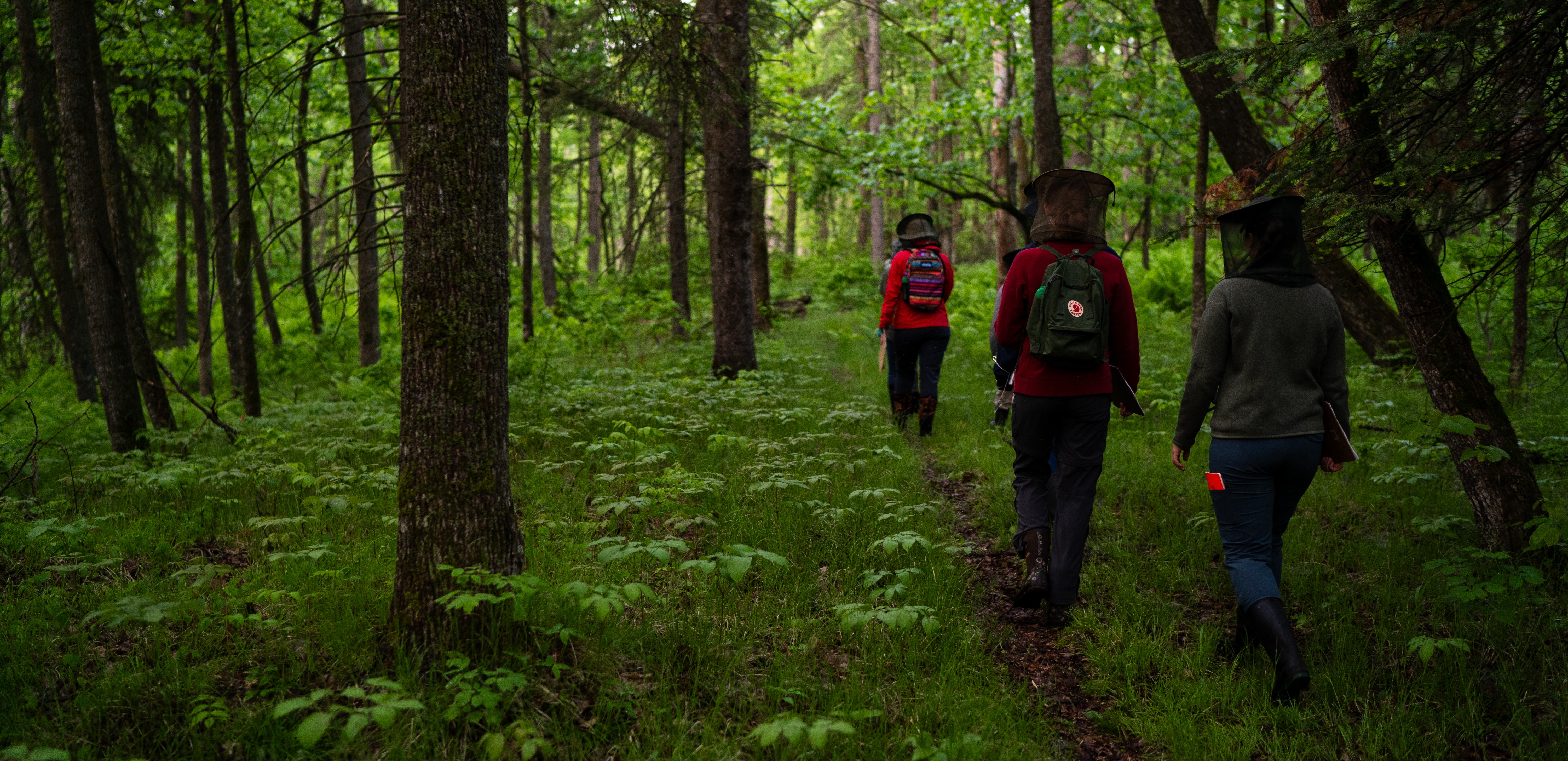
IBSL’s Field Ornithology course began conducting breeding bird surveys of Bear Paw Point in 1979. Each spring, students walk down Bear Paw Point to reflag the 50 by 50 meter grid spanning an 11.5 hectare plot. On several mornings throughout the course’s duration, students walk down a grid line and identify bird species based on their songs. Using these locations, students map out the different territories of individuals and species, thereby conducting a census of the breeding birds on Bear Paw Point each year.
See Canterbury and Blockstein (1996) and Zink and Eaton (2021) for more detailed information on the site’s history and methodology.
These data can be accessed as a data package in the EDI repository, which includes detailed metadata.
Wilderness Loop Breeding Bird Survey
IBSL's Field Ornithology class began conducting annual breeding bird surveys of Wilderness Loop Drive in 1979. Following traditional USGS Breeding Bird Survey methods, students conduct a three-minute long point count at 18 stops every half mile of the Wilderness Drive in Itasca State Park.
This dataset and detailed metadata are available to view and/or download as a data package in the EDI repository.
