Situated within a mosaic of unique habitat types and landscapes, the station serves as a living laboratory where students and researchers investigate questions about the natural world firsthand. From old growth deciduous and hardwood forests, to lakes and wetlands, to prairie grasslands, this landscape provides unparalleled opportunities for field research and experiential learning. Below, we highlight a few key sites that have anchored decades of field study.
Locations
Lake Itasca
Lake Itasca is a glacial, mesotrophic lake, known best as the headwaters of the Mississippi River. The lake has an area of 1,065 acres and a maximum depth of approximately 40 feet. It's shoreline is largely undisturbed thanks to its careful protection as part of Itasca State Park. Lake Itasca has been the site of a multitude of research projects, and a list of the station's student papers and publications for this lake is available to view online.
Additionally, station staff monitor lake ice conditions and lake water quality. Learn more about these ongoing projects on our long-term datasets page.
Schoolcraft Island is situated at the intersection of the North, East, and West arms of Lake Itasca. This island has also been the focus of many student research projects, and a list of student papers from Schoolcraft Island is available to view online.

Bear Paw Point
Bear Paw Point is an area of predominantly deciduous forest, bordered to the south and west by Lake Itasca and by Floating Bog Bay to the east. This peninsula is only accessible through the Itasca Station, so park visitors cannot freely access the site. The basswood forest slowly transitions to wetlands as you make your way east. Although its name is "Floating Bog", this area is fed by mineral-rich groundwater and is best characterized as a fen. A list of plant species observed by the Minnesota Biological Survey is available for Floating Bog Bay.
Bear Paw Point has been the site of an annual breeding bird census conducted by Field Ornithology students since 1979. Many other projects have taken place here, and a list of papers and publications associated with the site is available to view online.

Itasca Wilderness Sanctuary
The Itasca Wilderness Sanctuary is a 1600 acre SNA located along the western side of Lake Itasca and protects roughly two miles of undeveloped shoreline along the lake. A mosaic of eighteen native plant communities occupy the site, dominated by fire-dependent red pine – white pine forest communities. The SNA is accessible via the half-mile Lake Bohall footpath or the 1/4 mile Nicollet Creek path from Wilderness Drive, but most of the tract is protected and not open to general recreation.
The Itasca Wilderness Sanctuary holds an important place in Minnesota's conservation history. It was established in 1939 within the state park to preserve a part of the wilderness character of the state that existed prior to logging and settlement. In 1965, it became Minnesota's first National Natural Landmark. The Sanctuary's was designated as a state SNA in 1983, as the finest example of Great Lakes Pine Forest in north-central Minnesota. In 2023, the SNA was inducted into the Old Growth Forest Network, which recognizes existing old-growth forests across the nation and highlights the importance of preserving these areas.
Students and researchers from IBSL have conducted field studies at this site that date back to the late 1930's, many of which contributed to the site's designation as a state SNA. A list of these studies is available to view online.
Lake Ozawindib
Located in the northwest corner of Itasca State Park, Lake Ozawindib is a less crowded site to conduct limnological studies. The lake is 159 acres in size, reaching 80 feet at its maximum depth. A pair of loons can occasionally be spotted nesting along the large island situated in the middle of the lake.
Several students have conducted fieldwork here, and they have discovered that a small basin in the southeast corner of the lake exhibits meromictic properties, while the rest of the lake is dimictic (meaning it completely mixes over each spring and fall). A list of student papers and publications about Lake Ozawindib is available to view online.

Elk Lake
Accessible through the park's Wilderness Drive, Elk Lake is a mesotrophic lake that is 303 acres in size and reaches a maximum depth of 93 feet. This is a sentinel lake, part of the MN DNR's long-term ecosystem monitoring project aimed at understanding changes in lakes throughout time. Additionally, station staff routinely monitor lake ice and water quality on this lake.
Researchers have been studying Elk Lake for decades, and recent work is aimed at reconstructing the area's hydrologic record through analysis of the varve layers found in lake sediment cores.
A list of the station's student papers and publications based on work at Elk Lake is available to view online.

Meromictic lakes
At the southeast end of Itasca State Park lie Deming, Arco, and Josephine Lakes. Although small in size, these lakes are relatively deep compared to their surface area. Given these physical considerations, the lakes do not fully mix over every spring and fall and are characterized as meromictic. Because of this, the stratified layers of water have very unique biogeochemical properties.
These lakes are active research sites. A list of student papers and publications on these lakes is available to view online.

Twin Lakes Bogs
Twin Lakes are small bodies of water separated by the state park's South Entrance Road. These lakes are part of a complex of bog forest and sedge mat meadows in the southeast region of the park.
Twin Lakes, along with their associated bogs (informally named by students as Bog A, Bog B, Bog C, and Bog D), have been the focus of many bog forest succession studies and amphibian projects. A list of student papers and publications resulting from work in this area is available to view online.

Iron Springs Bog
Iron Springs Bog is a 231 acre SNA located just two miles north of Itasca State Park. Although named a “bog”, this site is actually a fen, characterized by springs of iron-rich groundwater welling up into the forested peatlands that border Sucker Creek. The site boasts a diversity of orchids and other wetland-dwelling plants. While the SNA is open to the public, there are no maintained trails, and visitors should be mindful not to trample the vegetation in this unique conifer swamp forest.
Given its distinctive water chemistry and the resulting plant communities, Iron Springs Bog has long been a popular field site for courses at the Itasca Station. In fact, professors Carl Otto Rosendahl and Murray Buell brought their botany class to the SNA to demonstrate paludification and the role of sphagnum moss in water filtration. Buell was the first to describe the area’s vegetation in his 1953 publication and was instrumental in promoting recognition of the site’s qualification for an official SNA designation.
Even today, field microbiology and mycology students still visit Iron Springs Bog to study its water chemistry and unique flora. A list of student papers and research publications resulting from work at this site is available to view online.
There are several other unique sites in the region surrounding the station, including other state Scientific and Natural Areas, state forests, and the Itasca Station's off-site research plots. The tabs below give further detail on these sites.
State Scientific and Natural Areas
State Scientific and Natural Areas (SNAs) are exceptional environments where Minnesota's biodiversity thrives, rare species are protected, and the state's unique natural features can be discovered and studied. In addition to Itasca Wilderness Sanctuary SNA and Iron Springs Bog SNA, several SNAs are within close driving distance to the station. The designation of some of these areas as SNAs was thanks, in part, to efforts by researchers at the Itasca Station.
- La Salle Lake SNA - La Salle Creek has its source in Itasca State Park and flows down into the Mississippi through La Salle Lake
- Dinner Creek SNA - dominated by a rich black spruce swamp
- Frenchman's Bluff SNA - prairie grassland overlooking the Red River Valley from one of the highest points in northwestern Minnesota
- Santee Prairie SNA - high quality native prairie, with mesic prairie, wet prairie, and prairie wetland complex
- Greenwater Lake SNA - >50 feet deep lake, very clear and relatively low in productivity
- Badoura Jack Pine Woodland SNA - one of the largest examples of a mature jack pine woodland community represented on an SNA
Lester Lake SNA - undeveloped shoreline rimmed by sedge meadow

For the full list of State Scientific and Natural Areas visit the Minnesota Scientific and Natural Areas website
State Forests
There are many State Forests within close driving distance of the Itasca station, including Two Inlets State Forest, White Earth State Forest, Paul Bunyan State Forest, and Mississippi Headwaters State Forest.

Itasca Station Off-site Research Plots
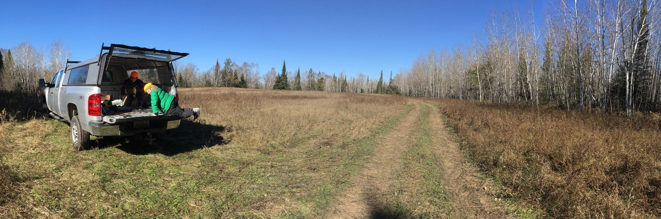
The University of Minnesota owns two plots of land north of Itasca State Park, just under 4 miles away from the station. They hold a mixture of early-successional forest and meadow. Unlike land within the state park boundaries, these UMN plots present an opportunity for manipulative research projects. The North Plot is 19 acres in size, bordering Iron Springs Bog SNA, and the South Plot is 44 acres in size. More information on location, vegetation, and soil types for each site can be accessed through the plot maps.